Final days of training -Ustaoset
Wednesday 2nd February
Shopping and ski technique day on the lake. 12km.
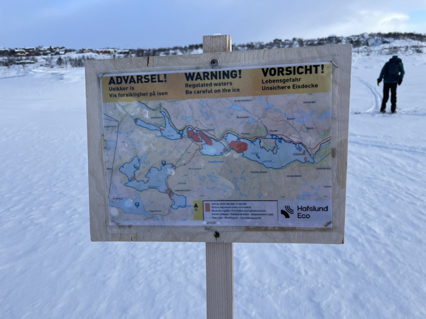
Neil bravely sends David off to see if it’s safe on the lake.
Poling practice, skiing with no poles, arm position, glide (yeah right!) and a fantastic and huge burger at the petrol station before loading up our rucksacks with groceries and returning to the cabin.
Groceries bought, it’s now just 5.25 km of skiing back to the cabin. D’you think we can get back before the ice cream melts?
Thursday 3rd February
19 km. I think I am getting used to the long days. I woke actually looking forward to getting out on the skis today, despite knowing we would be out for a minimum of 6 hrs and more.
We finally went in a different direction from the cabin. It has always been too icy to climb onto the plateau to the south. However, snow overnight means we can give it a try. Low cloud means we won’t see much, but at least it’s a different kind of ‘not much.’
Our plan is to ski to some cabins (closed) at a place called Tuva and then to climb the highest peak near the cabin called Ustetind.
Lovely snow but, as I said, not great visibility, which is a shame because Ustetind, at 1,376m is one of the highest mountains around.
Halfway up there is a great view back across the lake towards Ustaoset. Just not today.
Once we had climbed up on to the plateau we followed a series of marker posts to the cabins at Tuva. It’s all closed up at this time of year, but the route is still way marked. These winter skiing tracks are staked at regular intervals with temporary tree branches or poles stuck in the snow. Since time immemorial branches have been used for this kind of winter route marking hence the name; “kvisteruter”, literally “branch marked routes.”
Anyway, we followed one of these kvisteruter for well over an hour. Whilst it was possible to see for about 100-150 metres the light and low cloud meant that it was impossible to see the point where the ground becomes the sky, or indeed any contours of any kind. Everything was a uniform flat white with only the stakes marking the route to alleviate the white.
I took this photo to show what I mean…
The kvisteruter we followed to Tuva.
…but since I don’t think that quite illustrates it well enough, I drew and annotated this…
Weirdly, I quite enjoyed this “view.” There was a Zen like simplicity to the all encompassing white, the stakes and the alternating appearance of one ski and an opposite gloved hand and then the other providing a meditative quality. Snow deadens sound so, apart from the barely perceptible “shoosh” of the skis in the fresh powder there is no sound. The stakes, or branches are far from uniform, so never became monotonous.
Friday 4th February
23 km. Deep, deep snow and the best café in Norway.
Yours truly, pretending to know what I am doing
Working hard to ski downhill because of the deep snow
A day of contrasts. Sunny, cloudy, snowy, windy, well prepared trails and deep, deep snow and drifts. On our return through Ustaoset we visited the marvellous Café Presttun, and chatted with the delightful manager and maker of excellent cakes, Ingrid. She was very enthusiastic about our planned trip. I thoroughly recommend a visit. Buy coffee and cake and see if you can find the photo of Winston Churchill.
Inside Café Presttun, Ustaoset
Mr. Churchill is a very popular man in Norway.
Saturday 5th February
We leave the cabin and return to Oslo today, so a day of cleaning, washing, packing and having fun laying out on the bed all the kit that I am carrying on our trip north.
How many pairs of gloves!?
This doesn’t include; clothes I wear; shovel; boots; skis and poles. I think it all weighs about 13-14 kg. Though that is a guess. Not too bad I think. Especially considering the rucksack weighs nearly 2kg.
I’m not sure how we can ever repay Trond’s kindness in letting us use his cabin for so long. The very least we can do Is leave the place spotlessly clean.
Just after 3pm we head out to Ustaoset to ski the 5.25 km (1hr 15 mins) to the train station. We are going to miss this place. It’s a 4 hour train journey back to Oslo. The View from the train is impressive, but unfortunately doesn’t last long as it gets dark shortly after we board.
Our carriage arrives - Oslo bound
Sunday 6th February
We will be at Trond’s place in Oslo for the next few days where we will discuss the ‘plan B’ route that David has devised, repack the resupply boxes to include additional days of supply, buy a few items and then off North to our re-start point at Nordli. We restart our journey on Wednesday 9th February.
Don’t forget that, once we restart, you can follow our progress on the map by clicking on the link on the website.


