Days 25 and 26 - Start and stop
I keep saying;
“We are heading into the hills and will be too remote to post on Instagram or publish new blogs.”
…and then I find we are in a hut with amazing internet connection. Well, today is, once again, one of those days. So, here’s another blog for you.
Saturday 5th March
Sulitjelma Turistsenter to the Ny(New)-Sulitjelma Fjellstue DNT hut
Total distance traveled (since Nordli): 480.4km
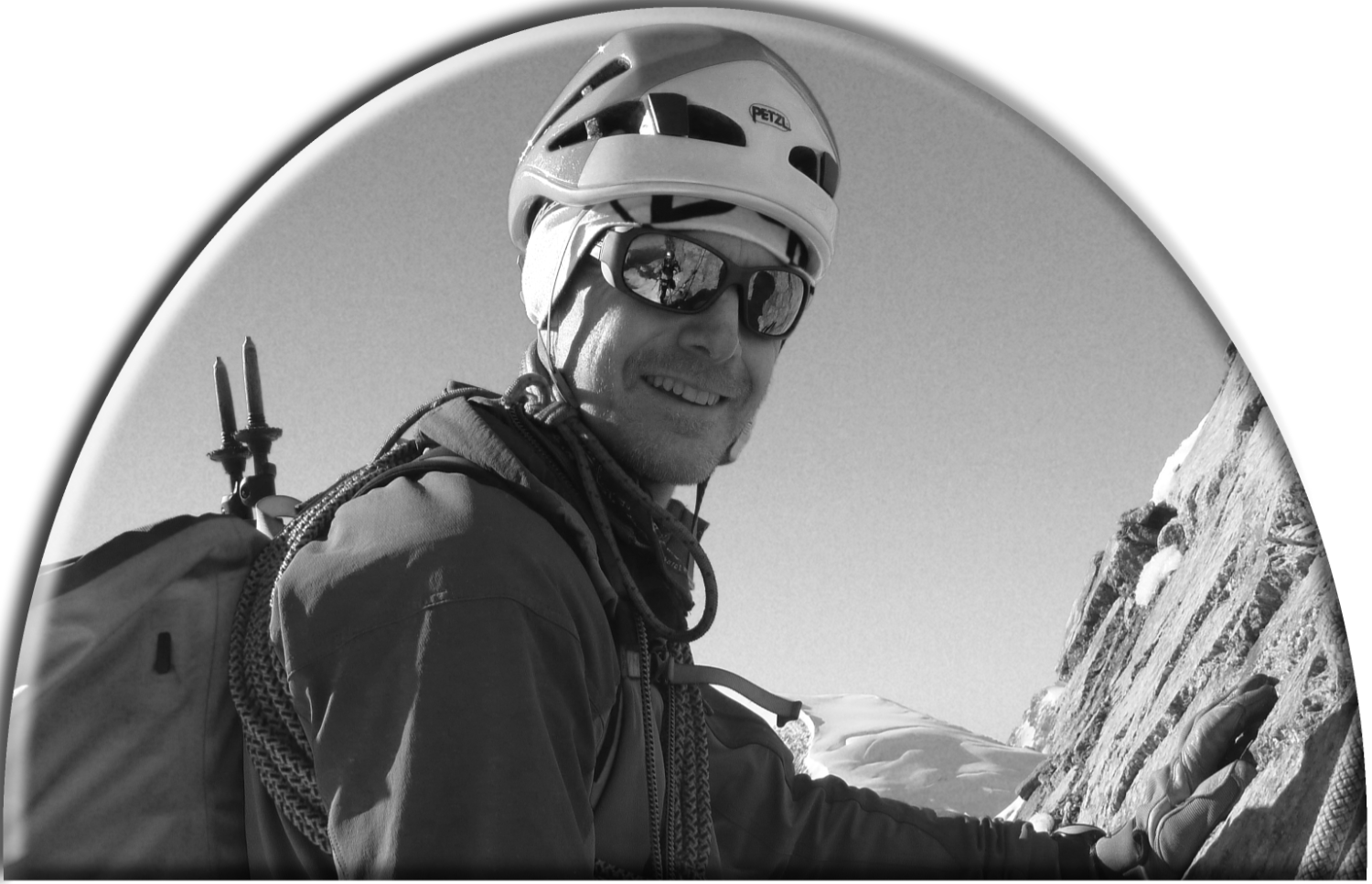
Total number of days traveling: 26
Today was our first day of navigation without the guru, David.
It took us 8 hours to do the 18.3 km to the hut. The visibility was terrible and the snow really heavy. We climbed very nearly 500m in the first 2 hours. With hindsight the quicker way might have been to descend to Sulitjelma and grind out the climb from there. Navigation would certainly have been simpler. We met 5 students at the Ny-Sulitjelma Fjellstue DNT hut who had snowshoed up that way in 2.5 hrs.

The Ny (new) Sulitjelma Fjellstue DNT hut
Fortunately visibility improved dramatically for our last 20 mins into the hut. I say fortunately because there was an edge that must have been 5-10 metres high that would have been tricky to negotiate in poor visibility.
The hut, which is locked, has all the lights on, the radio going and lots of personal items around. It’s a bit like the Mary Celeste.
The answer to this mystery is, we find out about 1.5 hrs later, ‘students’. 5 of them. All 21 and 22 years old. They are on snow shoes, so clearly not Norwegian. It turns out that they are international students on an exchange. From France, Scotland, Germany, the USA and the Netherlands.
A lovely bunch. And not just because they gave us cake.
21 & 22 years old! I’m not sure I can remember that far back.

The lovely group of students also in residence at the hut. Forever known as (L to R) France, Scotland, Germany, USA and Netherlands.
Sunday 6th March
A difficult decision this morning, but we decided not to venture out. 40cm of snow has fallen in 24 hrs and another similar amount is forecast over the next 24.

There is a mountain in this photo. Can you see it? No? Neither can I.
Our destination for today was to be the Sorjusthytta. Only 12km away, but 400 metres higher. The winds at that height are forecast to be up to 80kmph. Very close to storm force. With the huge amount of snow, a full pulk and very poor visibility venturing out could have been foolhardy.
So, we sit around looking at the terribly depressing news coming out of Ukraine, writing and, to cheer us up, watching the skiing world cup on Trond’s phone.
It’s a great hut to get stuck in. Central heating, hot and cold running water and a drying cupboard.

It looks like a fridge right? But it’s not…

…it’s a drying cupboard. Can you covet another person’s cupboard?
I take full advantage and wash my trousers. Long overdue. Had I left them much longer I think they may have grown their own legs.
Our resident group of students, with that enthusiasm born of youth, ignore the grim weather and go out with sledges and snow shoes to play in the snow. Later, when they leave they very kindly donate enough food to us that we will not need to use our spare day of food supplies on this unplanned rest day.
It’s a long time ago, but I do remember being that age…

Our new friends prepare to depart
Ok, I’m getting rather melancholy and nostalgic here. A fatal combination of wistful thoughts and sentimentality. Clearly too much time on my hands.
Tomorrow the winds are lighter, though the snowfall continues to be heavy (nearly 30cm is forecast), so we will set the alarm for 5.30 and head out. A couple of detours on lakes may make progress a little easier. We will certainly make the Sorjusthytta, though it may take a while.
THEN we will be out of contact for some days (probably). If you are worried about us then you are clearly related to one of us in some way. If, on the other hand, you are simply fascinated to know where we are you can click on the link here, or on the web page and see our progress day by day, including our route and, if I have time, a brief (90 character max) précis of the route. It looks like this and is very cool.

“Garmin Share” map of our progress yesterday. Don’t ask why we didn’t go in a straight line!
Please note: The track is in the name of David Hamilton. He kindly lent us his Garmin InReach device for the duration.